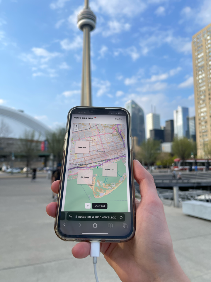
Maps + note-taker built with AI
First vibe coded app end-to-end
I’m a designer turned product manager. I’ve worked in water and energy utilities, streaming tech, and internet routing for enterprises and telecoms. Today, I lead the web experience for a satellite-connected consumer safety device.
What people watch for when someone’s out without cell
Read moreWhat people really watch when someone's out there
If you ask people why they buy a ZOLEO, the answer is almost always the same: search and SOS. They want to know that if something goes wrong, someone will know and can help.
What surprised us is what happens after the purchase. People don't set the device down and forget about it. They watch the map. Here's what we've learned from talking to them.
The map is on all day
One small trucking company in remote northern Australia told us, "The map is on our screens all day." They open it in the morning and leave it up until the last truck is in. It's how they guide drivers over roads that barely exist on paper, and how they spot trouble early.
That changed how we think about the map. For a lot of people, it's the main way they stay close to someone who's out of reach.
They want to see the land, not just a line
For that same operator, the standard map wasn't enough. Remote tracks, rivers, and sandy flats don't show up on a basic map, so they switch to satellite imagery and often cross-check in another app.
The takeaway is that location means more when you can see what's around it. A dot on blank space tells you where someone is. Satellite imagery tells you whether they're on the road or about to hit something.
They don't want to stare at a dot. They want to know when it stops.
Nobody wants to watch a map for eight hours. What they want is a signal when something is off.
The trucking operator described a time a truck got bogged and nobody knew. A "stationary" alert would have caught it. They also had a specific number in mind: about 30 minutes. That's long enough to ignore a fuel stop or a flat tire, and short enough to flag a real problem.
Location is only half of it
Rescue professionals say the same thing from a different angle. A one-way SOS button can tell someone you need help, but it can't tell you anything back.
With two-way messaging, you can say "false alarm," or "two people, one injured," or "we've moved to the ridge." Rescuers can ask questions and give advice while help is on the way. Even the simplest check-in changes what someone on the other end can do.
The right people need to see it
Safety is shared. A family member at home, a supervisor, or a volunteer coordinator all want the same thing: to know who's out, where they are, and when to worry.
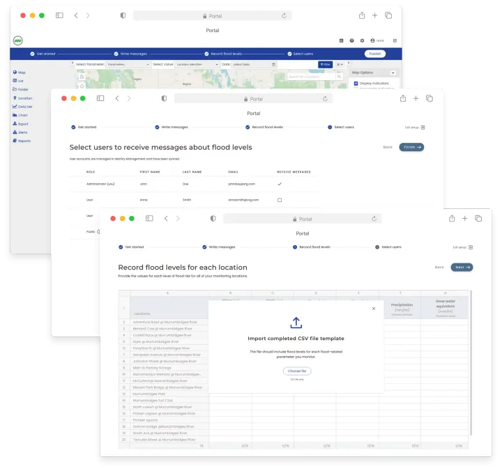
One disaster-response group found the standard tools didn't give them that, so they built their own tool. They set up dashboards for managers and for the public.When people build their own console to see everyone in one place, it tells you something about what they need.
Preparation shows up in the little things
Wilderness educators repeat the same habits:
What this means
People get ZOLEO for search and SOS, and then they watch the map because that's how they stay ready. It's how they feel in control when someone they care about is out of reach.
So the map isn't a side feature. It's where the whole safety story comes together: where someone is, what's around them, whether something has changed, and how to reach them.
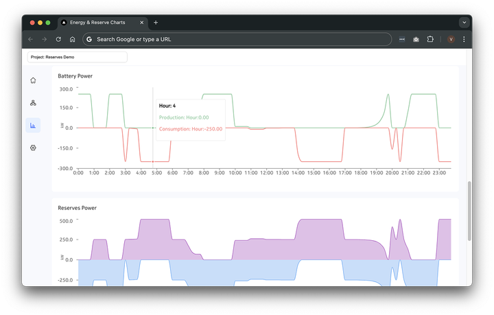
Agentic utility back office and outage restoration pov.
Read moreWhen the power goes out, people want to know what happened and when service will return.
The first indication of an outage rarely provides a complete explanation. Information develops as crews assess conditions.
At a broad level, outage response involves detecting an interruption, assessing its scope, assigning work, locating the problem, completing repairs, and restoring service.
Restoration can also happen in stages. One section may have power again while another remains affected. Access, weather, equipment condition, and material availability can affect the work.
The summary should answer the immediate questions: what is happening, who remains affected, and what comes next? Supporting updates should make it possible to understand the basis for those answers.
Replacement is on the way
A forecast introduces another planning horizon. As severe weather approaches or moves through a region, a forecast view could help people consider where additional interruptions might occur and how the overall situation could develop.
The goal is to help people interpret the estimate appropriately and recognize when new information has changed the outlook.
Where does attention need to go? What is still unknown? Has the situation changed? What information would help someone act?
A useful outage experience connects the current picture with the possible next one—and makes the difference between them clear.